

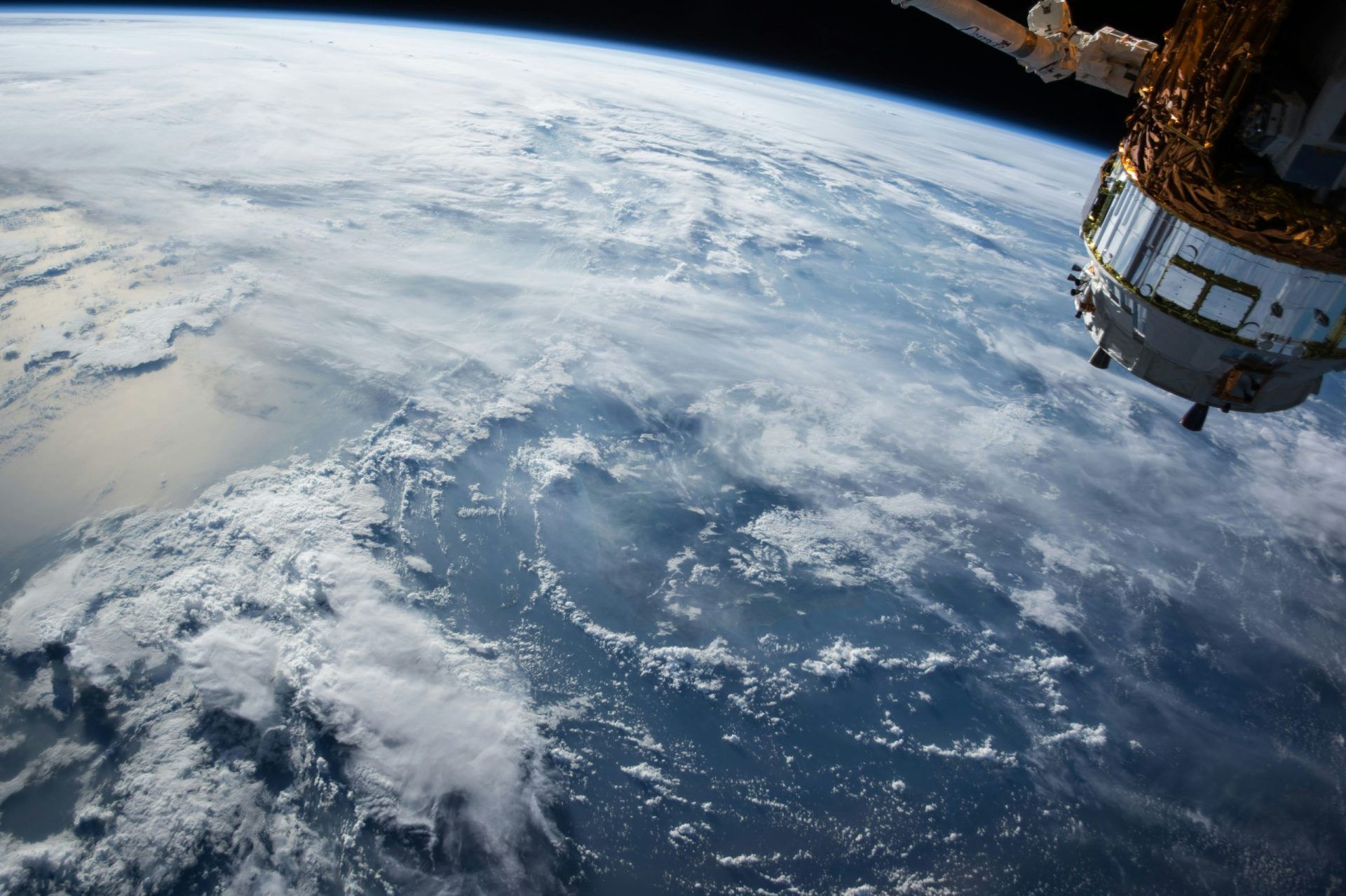
Satellite data is being leveraged by non-space companies to count vehicles in retail parking lots, monitor the health of crops on thousands of farms, corroborate supply-chain claims, set prices for insurance in case of floods and droughts, and measure the carbon footprint of their suppliers, all without owning a single satellite. They procure the images and data analysis from an expanding market of Earth-observation providers, often via simple software subscriptions, and integrate the insights into decisions that have no apparent connection to space. The firms engaging in this rarely, if ever, reveal it because the data is often a source of competitive advantage that they’d rather keep secret.
The issue was access. Satellite images were costly, difficult to get, and demanded experts to interpret them a decade ago. Today, clusters of small satellites take pictures of the whole planet every day, public archives from programs like Landsat and the European Sentinel satellites have brought the cost down to zero, and a set of analytics firms change raw pixels into ready answers such as “how full is this reservoir” or “how many trucks left this factory this week.” A retailer or a hedge fund can now acquire a completed insight through an API instead of recruiting a remote-sensing team.
Which Industries Are Buying Satellite Data and Why
Finance was one of the first and one of the most large-scale users who went further down the line interpreting satellite images as “alternative data” that can reflect the changes in the economy before the official reports are published. Hedge funds have become quite famous for checking the number of cars in parking lots of shops to estimate their sales for the quarter, observing the shadows of the oil-storage tanks to get an idea of global crude oil inventories, and looking at the lights and activity at factories to predict industrial production. The reason is timing: if a fund discovers that the foot traffic of a chain is going down even several weeks before the earnings call, it has a real edge.
The application of satellite imagery in agriculture is probably the largest practical use of it. With the help of multispectral imagery, farmers and agribusinesses are able to monitor crop health through various vegetation indices that can detect plant stress which is not visible even to a person. This way, they can apply water and fertilizer only to the spots in the field that need it, rather than treating the whole field uniformly. Insurance companies are monitoring relevant data in the same way and are underwriting and paying claims for parametric policies in which a claim is triggered automatically when satellite-measured rainfall or the state of vegetation crosses a specified level, thereby Really reducing the cost and time taken by sending an adjuster out into the field as well as by the physical examination itself.
Logistics, energy, and retail are among the other sectors that use satellite imagery heavily. Shipping and commodities companies combine satellite vessel tracking with imagery to monitor shipping terminals and look for places where congestion develops, energy firms use satellite images to check pipelines and to detect the methane emissions from them, and developers of real estate assess the sites and monitor the construction progress by using remote sensing. All these cases are representative examples where humans were required to be on the spot, and the satellite imagery has been either replacing or complementing the human presence with a cheaper and continuous source of information.
What Satellite Data Actually Costs to Use
For most first-timers, the biggest pricing shock is learning how much can actually be gotten for free. The U.S. Landsat system and the European Union’s Sentinel satellites provide vast collections of images for free, which get updated every few days at resolutions suitable for agriculture, environmental monitoring, and large-scale trend analysis. A company that is ready to do its own processing could develop a strong capability without buying any image data at all, which is the main reason why so much testing and experimenting begins there.
Commercial satellite data is priced higher because it features better resolution, more frequent revisits, and more specialized sensors. High-resolution optical satellite imagery capable of identifying individual cars could cost anywhere from a few dollars to multiple tens of dollars per square kilometer. At the same time, a subscription to a daily-refresh provider for a targeted region can range from several thousands to tens of thousands of dollars per year according to factors such as coverage and resolution. The major cost in most cases is not in obtaining the images or ‘pixels’ but in the analytics, since interpreting satellite images into valid business indicators calls for either an in-house data-science team or resorting to a vendor who will provide a ready-to-use answer.
This second possibility is what has pushed the market to the point of moving from merely selling images to selling ‘insights.’ A business that simply wants to know weekly retail traffic or the extent of deforestation risk in a supplier’s area will buy that particular piece of information as a service, without ever handling an unprocessed image themselves. It essentially removes the cost and skill barriers, plus it is the main reason why adoption has gone far beyond only those organizations with a strong technical background.
How Smaller Companies Get Started Without a Space Team
You don’t need a geospatial department to begin, and the realistic entry path looks more like adopting any other SaaS analytics tool. The first step is defining the actual question, because “we should use satellite data” fails while “we want to verify our cotton suppliers aren’t sourcing from cleared rainforest” succeeds. A sharp question tells you which provider, resolution, and revisit rate you need, and it usually narrows the cost dramatically.
From there, plenty of platforms offer self-serve access where you draw an area on a map and pull historical and current imagery or pre-built analytics, often with free tiers for testing. Smaller firms typically start with a pilot on one well-defined problem, prove the value over a quarter or two, then expand. Companies weighing a larger commitment, or trying to judge which providers and data types fit their specific problem, often bring in space industry consulting rather than learning the entire Earth-observation market by trial and error, since the difference between optical, radar, and thermal sensors maps directly onto which questions you can actually answer.
That sensor distinction matters more than beginners expect. Optical imagery is intuitive but useless through clouds and at night, which is why synthetic aperture radar, which sees through cloud cover and darkness, has become essential for monitoring in tropical regions or for time-sensitive disaster response. Thermal sensors reveal heat signatures for energy and industrial monitoring. Matching the sensor to the question is the single most common place where first attempts go wrong.
What This Means for Competitive Decisions
The biggest hint from this slow embrace strategy is that this satellite data is slowly turning from a fancy option to an essential tool in a few industries. If your opponents have access to space images showing your construction progress, they can figure out which moment you get the most customers, check your supply chain, and even see your crop yield without any contact. Turning your back on is in itself a feature of a decision with consequences. As per the industry analysts, the gaining least astrattes not the ones who are space enthusiasts, they are the businesses who just posed the question more sharply than their rivals and bought the data to get the answers.
The thing to think about now is hardly whether satellite data would be useful for your business but more about which of your hidden points this data can wonderfully reveal. Nearly each company is very much dependent on something physical and distributed that it can’t easily watch, whether these are suppliers sites crops, assets, or markets, and a lot these are now being observed from space at a cost far less than any ground monitoring. The first ones getting the benefits will be those who consider Earth observation only as another normal data source with which to solve a genuine problem rather than doing so when waiting for it to be less exotic.
When it ceases to be an exotic thing to feel you, the advantage will have gone to the person who acted at that time when it was still.
